GUNUNG · Australia (Australia Selatan)
Mount Woodroffe
Mount Woodroffe / Ngarutjaranya
Source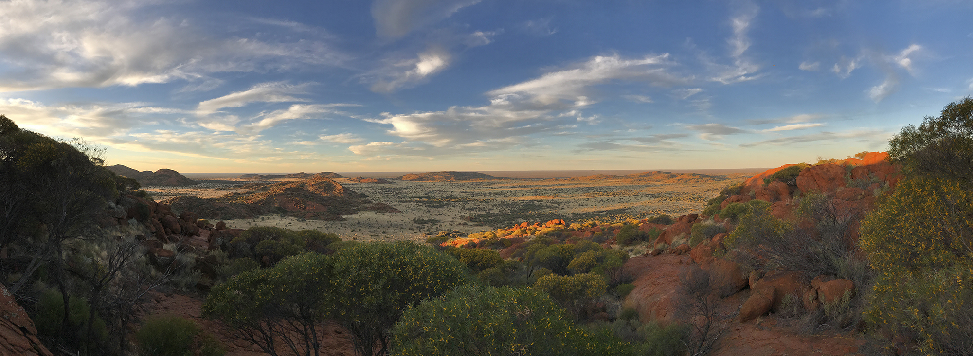
Lanskap kawasan APY Ranges, bukan puncak Woodroffe / APY Ranges landscape, not the Woodroffe summit — Landscape South Australia, CC BY 3.0 AU. Photo: source
—
- Feels like
- —
- Humidity
- —
- Wind
- —
Source: Open-Meteo
Information
- Elevation
- 1.435 m
- Country
- Australia (Australia Selatan) (AU)
- Location / Range
- Pegunungan Musgrave, tanah APY di barat laut Australia Selatan
- Mountain type
- Pegunungan kuno non-vulkanik
- Volcanic?
- No (non-volcanic)
- Coordinates
- -26.3167, 131.7333
- Difficulty
- Pendakian historis melalui lereng tanpa jalur bertanda; saat ini akses pendakian komersial 2026 belum disetujui oleh APY Executive
- Best Season
- Catatan lama menyebut tur pendakian berlangsung sekitar Mei; ini bukan rekomendasi musim atau akses saat ini.
- Permits & Rules
- Berada di APY Lands. Pemerintah Australia Selatan menyatakan tidak ada akses umum ke APY Lands; operator perjalanan menyebut pendakian 2026 belum disetujui. Jangan memasuki kawasan atau mencoba rute tanpa izin yang sah dari pemilik dan otoritas setempat.
- Hazards
- Lokasi sangat terpencil, medan spinifex berbatu tanpa jalur bertanda, paparan panas dan keterbatasan bantuan. Akses berada di tanah adat yang tidak terbuka untuk umum; patuhi keputusan pemilik dan otoritas APY.
Description
Mount Woodroffe (Ngarutjaranya), at 1,435 m, is South Australia’s highest point in the Musgrave Ranges, within the APY Lands. The state government says the APY Lands are not open to general public access, while a tour operator says the 2026 climb has not been approved by the APY Executive. Older trip reports describe open, untracked slopes; those accounts are historical and do not grant permission to visit.
Gallery
Foto bersumber dari Wikimedia Commons — klik untuk memperbesar & lihat sumbernya.
Routes
Lereng spinifex menuju puncak (rute historis)
Tanpa jalur bertanda; hanya catatan historis, akses tidak disetujui untuk pendakian 2026A 2013 trip report describes a line from the foot of Mount Woodroffe to the summit across untracked spinifex slopes. Paul Ma recorded about 685 m of ascent and his own time of 2 hours 15 minutes; those conditions and timing are not a standard estimate. The APY Lands are not open to general public access, and the operator says the 2026 climb has not been approved. This documents an old route, not permission or instructions to attempt it.
SourceClimbing Experiences
Six links comprise four written accounts and two videos. The 1977, 2010 and 2013 accounts are historical; two 2013 reports cover the same trip rather than independent routes. The written accounts emphasise untracked terrain and spinifex, while video summaries are limited to oEmbed metadata. Access information follows the official APY and Landscape South Australia references in the profile.
References
The summary above is compiled from the following sources. Click to explore them yourself.
- 1 Wikipedia Mount Woodroffe en.wikipedia.org · EN
- 2 Wikidata Mount Woodroffe (Q1364517) wikidata.org · EN
- 3 Official Site Aṉangu Pitjantjatjara Yankunytjatjara Ranges landscape landscape.sa.gov.au · EN
- 4 Official Site Mt Woodroffe Climb diversetravel.com.au · EN
- 5 Encyclopedia Mount Woodroffe / Ngarutjaranya wildthings.club · EN