GUNUNG · Indonesia
Gunung Lesung
Source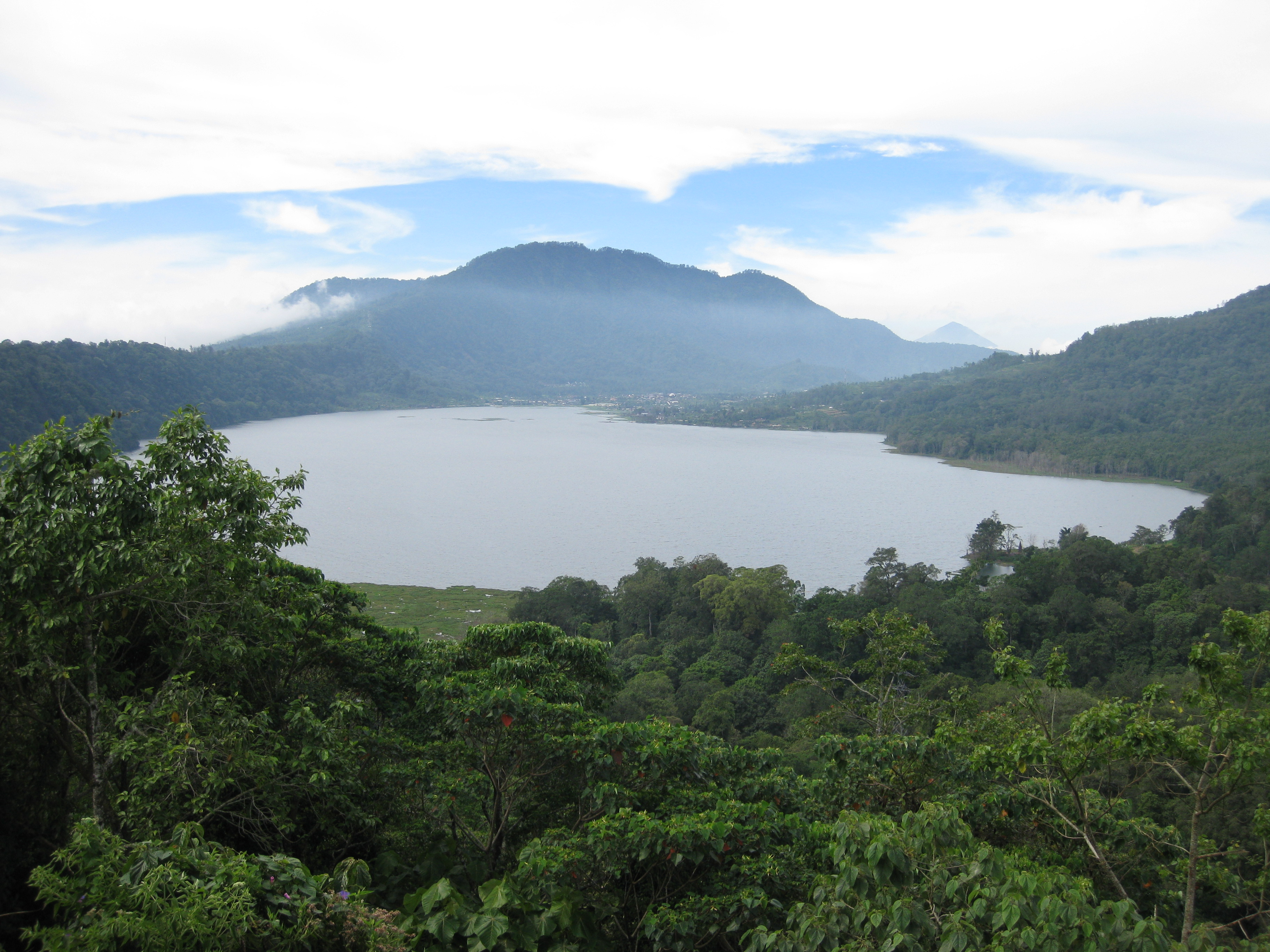
Danau Tamblingan di kawasan kaki Gunung Lesung — foto kawasan, bukan puncak / Lake Tamblingan near the foot of Gunung Lesung — area photograph, not the summit. Foto / Photo: Dave; CC BY 2.0.. Photo: source
—
- Feels like
- —
- Humidity
- —
- Wind
- —
Source: Open-Meteo
Information
- Elevation
- 1.885 m
- Country
- Indonesia (ID)
- Location / Range
- Buleleng, Bali
- Mountain type
- Volcanic mountain
- Volcanic?
- Yes — volcano
- Coordinates
- -8.2800, 115.1060
- Difficulty
- Forest hike; the Gesing approach is shorter than Tamblingan.
- Best Season
- April–October (dry season)
- Hazards
- Junctions can be confusing; the upper trail includes steep ground.
Description
Gunung Lesung stands in Bali near Lake Tamblingan. Indonesian Wikipedia lists an elevation of 1,885 m; Wikidata confirms its identity, country and coordinates but currently provides no elevation. Forest trails lead to the Anglayang sacred site. First-hand accounts highlight navigation at trail junctions and respect for religious activities and the surrounding environment.
Gallery
Foto bersumber dari Wikimedia Commons — klik untuk memperbesar & lihat sumbernya.
Routes
Via Danau Tamblingan
Starts on Jalan Danau Tamblingan along the Mue River. The source describes a longer approach; junctions require navigation care.
SourceVia Joglo Kedatuan, Gesing
Mudah–sedang / Easy–moderateA direct forest approach from Gesing to the summit temple. Distance and time describe the return walk reported by the source.
SourceClimbing Experiences
Three first-hand accounts cover the short Gesing approach, navigation challenges from Tamblingan, and a community service ascent to the summit shrine.
References
The summary above is compiled from the following sources. Click to explore them yourself.